The site is located about 800 m NE of the Toscono nuragic complex and less than 700 m E of the giant tombs of Achileddu.
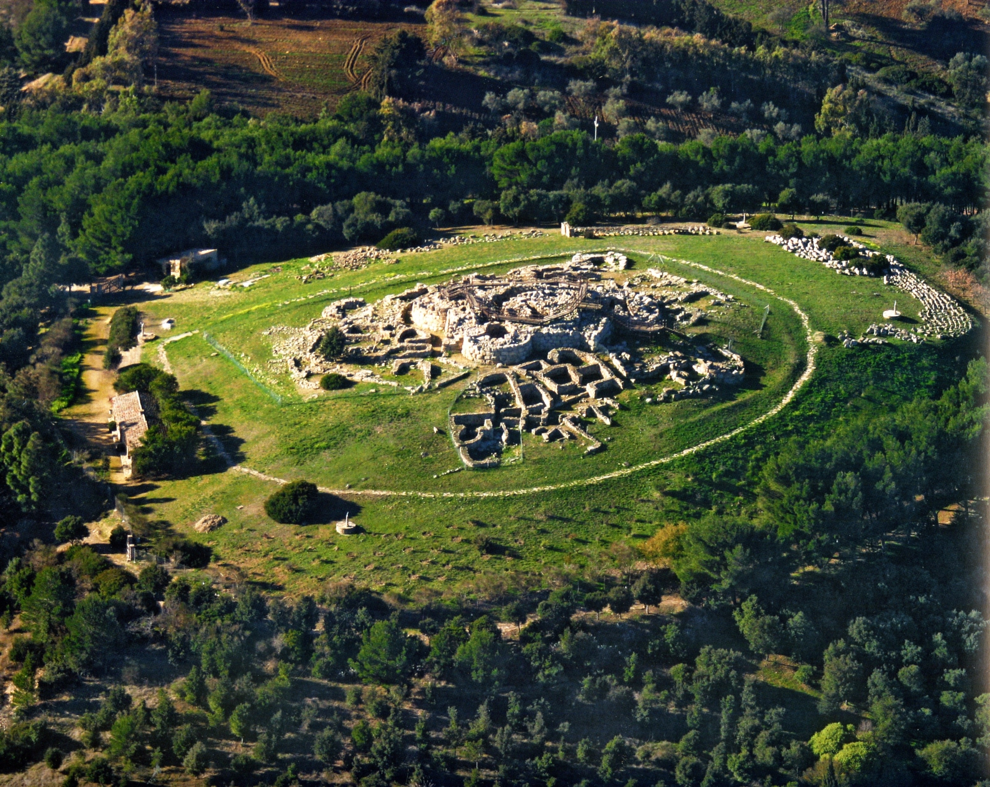
The complex nuraghe consists of a central keep around which a quadrilobed bastion with a straight-curvilinear profile has been built, including a sub-rectangular courtyard (width 7.80 m; depth 3 m). The overall construction measures 22 x 20 m, while the maximum remaining height is 6.20 m.
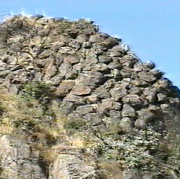
The masonry work - obtained with large boulders just sketched in the bastion and with smaller stones and carefully worked in the keep - appears to be traced back to the different construction phases of the monument.
The only detectable tower is the one located in E, accessible from the courtyard through a corridor (m 3.40) with steps.
The chamber of this tower, with a slightly flattened plan (m 3.60 x 4), has on the north wall the entrance to a staircase with an “elbow” development, currently accessible only for a short distance due to the collapse.
From the central part of the courtyard, there is access to a short corridor on the walls of which the entrances open to two walkways, now interrupted by the collapse, which, crossing the masonry, led to the rear towers.
The central tower, with a subcircular plan (diam. m 10.70x11.50), can now be accessed through the window on the first floor (width 1.00 m; height 1.35 m) going up the collapsing material that occupies the courtyard in front.
The entrance behind the window (length 4.10 m) is intersected by the path of the staircase that connected the ground floor with the upper levels.
The corridor leads into the room on the first floor of the keep, with a circular plan (diam. m 3.60x3.90), which had the characteristic of being closed by wooden floors resting on annular strips carved into the masonry of the compartment itself. The rooms on the ground floor and on the second floor must have the same locking system.
History of excavations
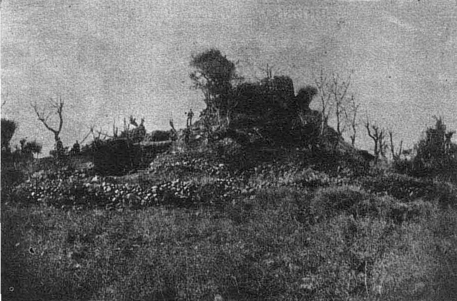
The monument was the subject of an excavation and restoration work carried out by the Superintendence of Sassari.
Bibliography
A. Della Marmora, Voyage en Sardaigne ou description statistique, phisique et politique de cette ile avec des recherches sur ses productions naturelles et ses antiquités, II (Antiquités), Paris, A. Bertrand-Torino, J. Bocca, 1840, p. 107; Ministry of Education. List of monumental buildings, XIX, Rome, Tip. operaia Romana Cooperativa, 1922, p. 90;
A. Taramelli, “Sheet 205, Capo Mannu; Sheet 206, Macomer”, in Archaeological Edition of the Map of Italy at 100,000, Florence, Military Geographic Institute, 1935, p. 33;
E. Contu, “Nuraghe Porcarzos (Borore)”, in Journal of Prehistoric Sciences, XVIII, 1963, pp. 325-328; A. Moravetti, Archaeological Research in the Marghine-Planargia. The Marghine - Monuments, Part One. Sassari, C. Delfino, 1998 (Archaeological Sardinia. Studies and monuments; 5);
A. Moravetti, Archaeological research in the Marghine-Planargia. The Planargia — Analysis and Monuments, Part Two. Sassari, C. Delfino, 2000 (Archaeological Sardinia. Studies and monuments; 5).
How to get
From Borore you reach the railway level crossing and, soon after, the old SP Borore-Dualchi. Follow it for about 500 meters until you reach the Nuraghe Bighinzones on the left, indicated by tourist signs. Continue on the same road for another 500 meters, until you find a path on the left with signs for Nuraghe Porcarzos. Turn around and continue for another 1.5 km, to the nuraghe.
Content type:
Archaeological complex
Archaeology
Usability: unmanaged site
Province: Nuoro
Common: Borore
Macro Territorial Area: Central Sardinia
POSTAL CODE: 08016
Address: SP 33 - località Nuraghe Porcarzos
Update
Where is it
Borore, Nuraghe Porcarzos Images number: 4
Texts

Comments