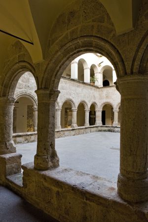
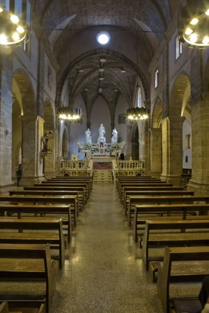
Alghero is located on a strip of land overlooking the sea, along the so-called “Coral Riviera”. With a tourist vocation, it is known for its white sandy beaches as well as for the long pine forest that starts from the town and continues in the direction of Porto Conte. The hinterland is rich in archaeological sites that date back to prehistoric times. The city retains a strong Catalan linguistic and cultural identity and a very significant historic center, with a fifteenth-century physiognomy.
In the historic center of Alghero, there are three main centers: a first in the N/O part, developed between Via Sant'Erasmo, Via Ospedale, Via Santa Barbara and Via Manno, connected to the Civic Square, institutional center, and the military nucleus of Castellas; a second in correspondence with the series of streets parallel to the coastline and between Via Carlo Alberto and Via Cavour, connecting the houses near the cathedral of Santa Maria and the more modest neighborhoods, built in S; a third pole, from the 15th century, to E, between Via Gilbert Ferret and Ferret via Rome.
Alghero was built in the 12th century by the Doria family. The decision to build a fortified city in this area was dictated by the very nature of the place, easily defensible from external attacks. The shape of the city followed the lines of the promontory on which it was planted, acting as a landing place for ships coming from Liguria.
There are very few traces of the Romanesque phase of the fortified settlement, incorporated into the structures erected after the Aragonese conquest between the 14th and 15th centuries. The development of the urban center followed the direction that led from the port to the interior, with the growth, to S, of the working-class neighborhood already built earlier. There were two main squares: today's Piazza Civica and Piazza del Teatro. In N there was the cathedral dedicated to Santa Maria, in S/E the church and convent of San Francesco. Over the following centuries, there were various renovations; the important one of 1726 by the Piedmontese people.
History of studies
In 1951, Salvatore Rattu identified the first fortified nucleus in the 12th century and in the 15th century the second formative phase of Alghero. Later studies, starting with Rafael Catardi (1962), agree with this line of interpretation. Documentary confirmation came from the article by Angelo Castellaccio (1981), which highlights how at the beginning of the 15th century the urban and fortified fabric of Alghero began to be renewed. A more precise chronological definition can be found in the large sheet in the volume by Francesca Segni Pulvirenti and Aldo Sari (1994) on late Gothic architecture in Sardinia.
Bibliography
V. Angius, "Alghero", in G. Casalis, Dizionario geografico storico-statistico-commerciale degli Stati di S.M. il Re di Sardegna, I, Torino, G. Maspero, 1833, pp. 77-126;
S. Rattu, Torri e bastioni di Alghero, Torino, 1951;
O. Montesano, Alghero, origini e storia della città catalana, Cagliari, 1956;
R. Catardi, Le antiche fortificazioni di Alghero, in Atti del VI Congresso Internazionale di Studi Sardi, I, 1962, pp. 525-536;
A. Castellaccio, Alghero e le sue mura nel Libro dei Conti di Bartolomeo Clotes (1417-19), Sassari, 1981;
A. Ingegno, Il Centro storico di Alghero, Oristano, 1987;
G. Sari, La piazza fortificata di Alghero: analisi storico-artistica, Alghero, 1988;
F. Fois, Castelli della Sardegna medioevale, a cura di B. Fois, Cinisello Balsamo, Amilcare Pizzi, 1993, pp. 254-255;
F. Segni Pulvirenti - A. Sari, Architettura tardogotica e d'influsso rinascimentale. Nuoro, Ilisso, 1994, scheda 18;
L. Deriu, Alghero. La città antica. Immagini e percorsi, Sassari, 2000, pp. 21-26.
Update
Images
Audio

Comments