Subjects





The northwestern sector of the province of Sassari is dominated by Nurra, the second largest plain in Sardinia after the Campidano. Its territory lies mainly in the municipalities of Sassari, Porto Torres and Stintino, also affecting the municipalities of Alghero and Olmedo, and partially the western coast of Sorso. Formerly characterized by dense woods and wetlands, this area today has a predominantly bare appearance, dominated by pastures, agricultural areas and the typical vegetation of Mediterranean scrub and garrigue. Of the ancient forest cover that persisted until the 19th century, only rare strips of tunnel forests survive today, preserved along the courses of torrential rivers, such as the Rio Mannu.
Between the Second World War and the '60s, the Nurra was the protagonist of impressive remediation interventions. These works made it possible to restore the swamps and finally eradicate malaria, a scourge that since ancient times had hindered the agricultural exploitation of these lands, historically among the most uncultivated and depopulated on the island.
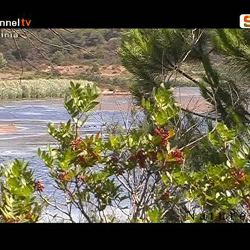
The Nurse landscape, of extraordinary natural value, has a heterogeneous morphology: alluvial basins alternate with hilly ridges and lake areas in the central and northern sectors, while the western coastal strip is marked by impressive and steep promontories overlooking the sea. Despite this variety, the region maintains a harmonious landscape that combines high cliffs and pristine coves with the quiet of the inland plains.
The territory is dotted with numerous rural villages, including La Corte, Villassunta, Palmadula, Tottubella, La Pedraia, Biancareddu, Campanedda, Canaglia and Bacchileddu. Among these, the village of Argentiera stands out, dominated by the austere and suggestive architecture of the old mine, today a valuable example of industrial archeology. Another peculiarity is represented by Lake Baratz, the only natural reservoir in Sardinia; a precious refuge for birdlife, the lake is connected by a majestic dune system to the bay of Porto Ferro, guarded by 17th century coastal towers.
Moving to the northeast, a short distance from Sassari, the Platamona coastline extends: a long sandy beach that extends for about ten kilometers from the sixteenth-century tower of Abbacurrente (1571-1578) to Punta Tramontana, framed by backwater and a lush pine forest.
The identifying element of Nurra is water, declined in its marine, fresh and brackish forms. This constant presence shapes the natural resources of the territory, fueling high biodiversity. The humid environments, including ponds and lagoons, enrich an already significant flora and fauna heritage, while the marine ecosystem, due to the variety of species that inhabit its seabed, is confirmed as one of the areas of greatest scientific interest for marine biology in the entire Mediterranean basin.
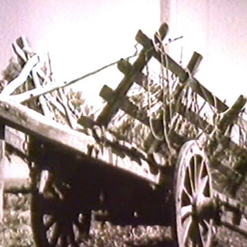
Video - Historical documentary: "Alba sulla Nurra", the remediation, Etfas, Sixties.
The documentary, made by Fiorenzo Serra, testifies to the land transformation activity carried out in Sardinia after World War II. The film belongs to a series of short films produced by ETFAS (Authority for land and agrarian transformation in Sardinia).
Structure category: natural monument
Content type:
Environmental site
Province: Sassari
Common: Sassari
Macro Territorial Area: Nord Sardegna
POSTAL CODE: 07100
Address: la Nurra - Provincia di Sassari
Website: www.comune.sassari.it/it/amministrazione/organi-governo/municipalita-della-nurra
Update
Where is it
Sassari, la Nurra Images number: 12
Video
Author : Cau Antonello
Author : Serra Fiorenzo
Results 2 of 53782
View All


 Facebook
 Twitter
 LinkedIn
 Whatsapp

 Print
Print
 E-mail


Comments