The village is located on the S/E slopes of Monte Bardia, not far from the coast, in the center of the Gulf of Orosei, in eastern Sardinia.
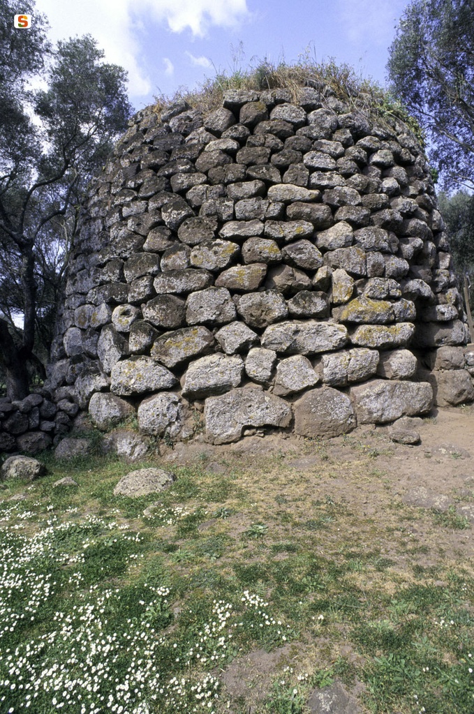
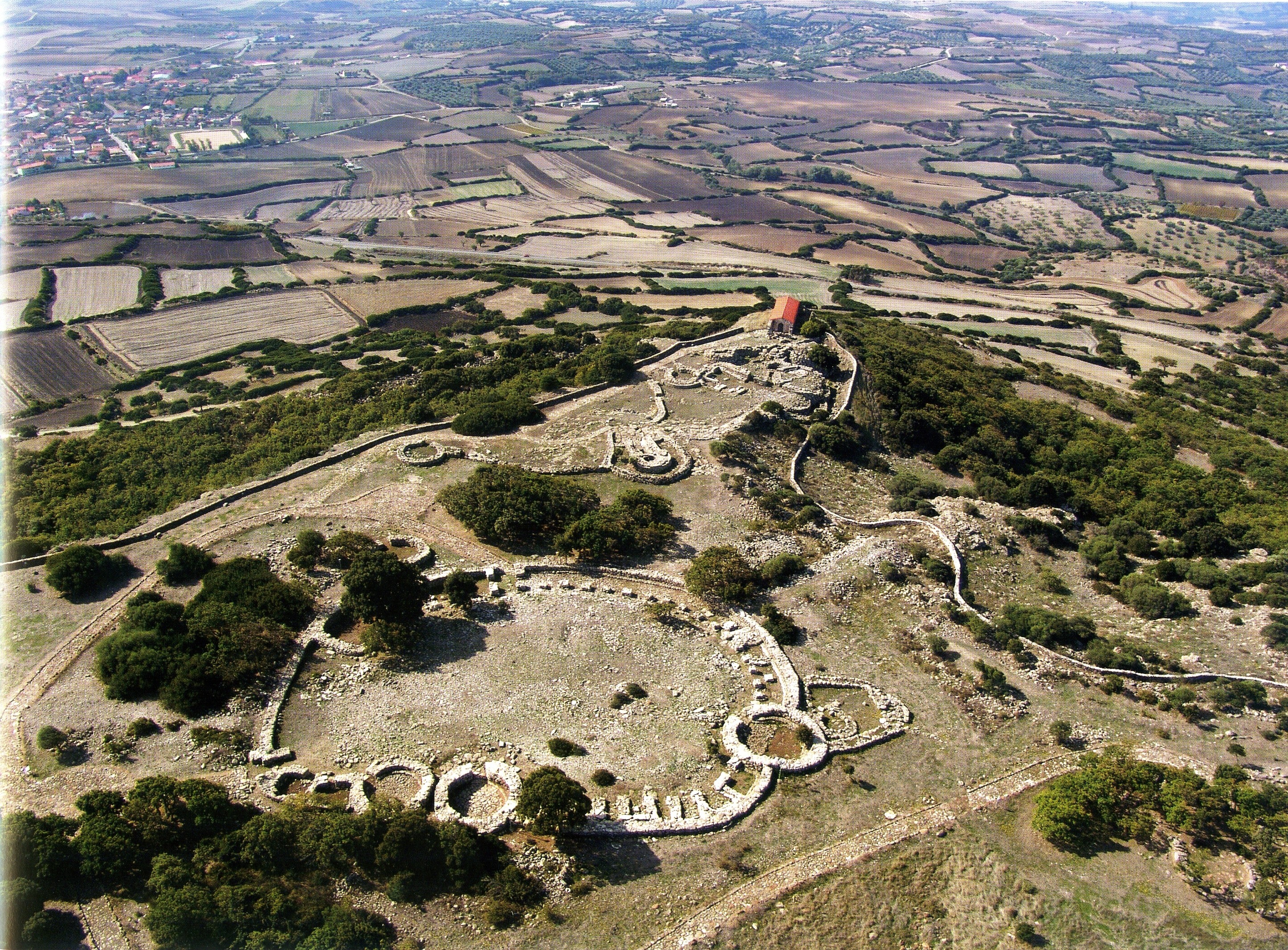
The nuragic settlement includes a hundred circular huts distributed in no apparent order at a regular distance from each other.
It is built with regular rows of limestone blocks; the rare trachyte blocks probably come from nearby Monte Imberi.
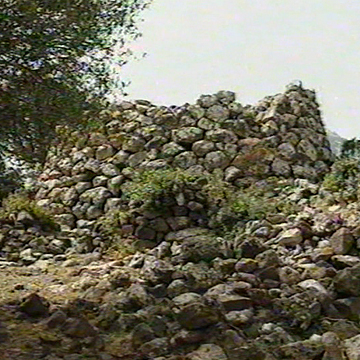
The huts, circular (diameter 6/7 m), are for the most part currently covered by collapses and invaded by thick Mediterranean scrub.
The excavation data published by Taramelli make it possible - pending other information - to trace the original state of the buildings. Three of the huts investigated (diameter 3.20-3.80 m) have walls of considerable thickness (m 1.20) reinforced with wedges, in a strong support.
The internal rooms were accessed through an entrance facing S and trumped inwards. One of the rooms had a seat counter along the perimeter of the wall (depth 0.40 m) interrupted in the stretch opposite the entrance by a fireplace delimited by stones. A similar fireplace could be made in the center of the compartment. In addition, closets and small niches were spared on the walls.
A larger building (diameter 6.50 m) has been interpreted by Taramelli as a “meeting hut”: it is a circular building with a large trumped entrance (width 1-1.50 m) that leads to a compartment with a double seat and three niches in the walls. A large circular fireplace (diameter 1.35 m) delimited by knife plates is built near the entrance.
Some rectangular huts (m 3 x 2.20) with an entrance on the short side and walls made of small stones tied with mud mortar testify to the fact that the town was still frequented in Roman times.
History of excavations
The site was excavated by Taramelli in 1927.
Bibliography
A. Taramelli, “Report of the activities carried out by the management of the Museum and of the Dorgali Excavations in the July-September quarter, 1927”, in Bollettino d'Arte, 1928, VII, 2, p. 476, figs. 10-15; A. Taramelli, “Dorgali (NU).
Archaeological explorations in the territory of the Municipality”, in News of the Excavations, IX, 1933, p. 370, 378, figg. 23-32;
M.R. Manunza, “Nuraghe Arvu”, in Dorgali. Archaeological documents, Sassari, Chiarella, 1980, pp. 192-193; M.R. Manunza, Dorgali.
Ancient monuments (Cala Gonne), Oristano, S'Alvure, 1995, p. 157.
How to get there
From Nuoro, take the SS 129 and proceed to the junction for the SP 38, which must be traveled all the way to the intersection with the SS 125, in the direction of Dorgali. You arrive at the town and take the SS 125 “Orientale Sarda” to the junction for Cala Gonone. Continue in that direction and shortly before the town, at the height of a fuel station, turn upwards, going up the hill where a modern district is located; at the end of the road you turn to D. and continue for a short distance until you find, on your way, an uphill path with a tourist sign that marks the Nuragic village. You leave the car and continue walking along the path until you almost reach the end: the remains of the village huts are located north of the thick Mediterranean scrub.
Structure category: archaeological area or park
Content type:
Archaeological complex
Usability: Closed
Province: Nuoro
Common: Dorgali
Macro Territorial Area: Central Sardinia
POSTAL CODE: 08022
Address: località Cala Gonone
Telephone: +39 348 4780104
E-mail: info@museoarcheologicodorgali.it museoarcheologico@comune.dorgali.nu.it
Website: www.museoarcheologicodorgali.com
Information on tickets and access: The site is currently not accessible, it is not possible to indicate a reopening date; it is however possible to view the site from a distance from the adjacent land.
Update
Where is it
Video

Comments